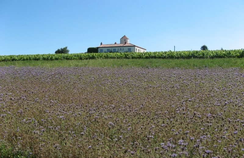
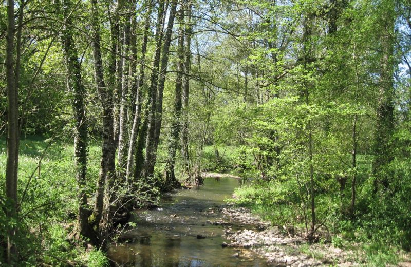
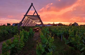
Between vines, villages and the river Sanguèze, the town reveals its most beautiful face
Description
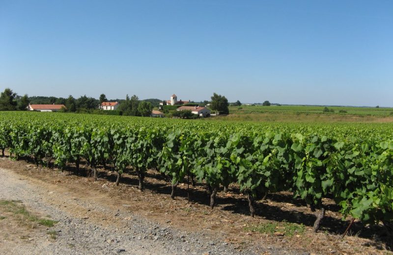
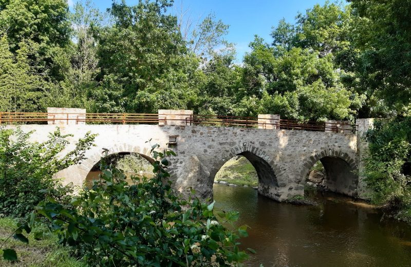
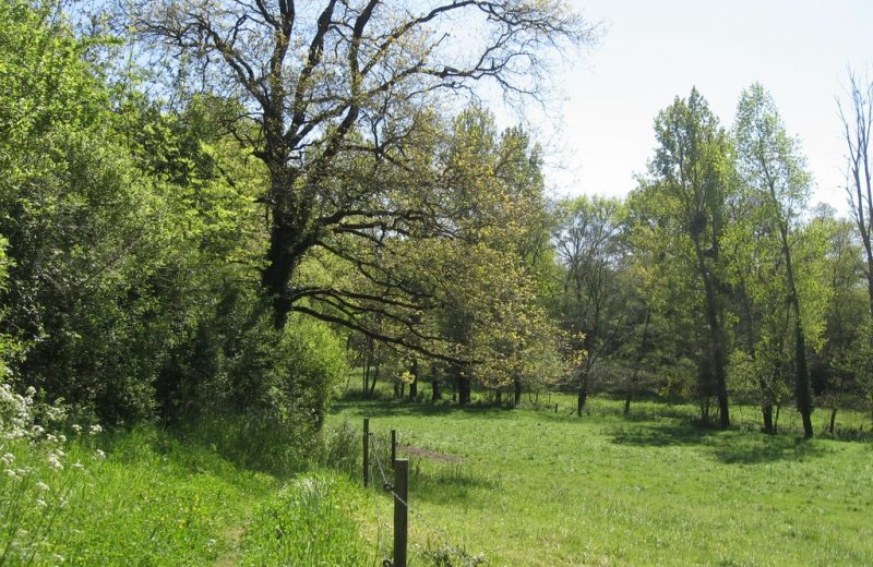
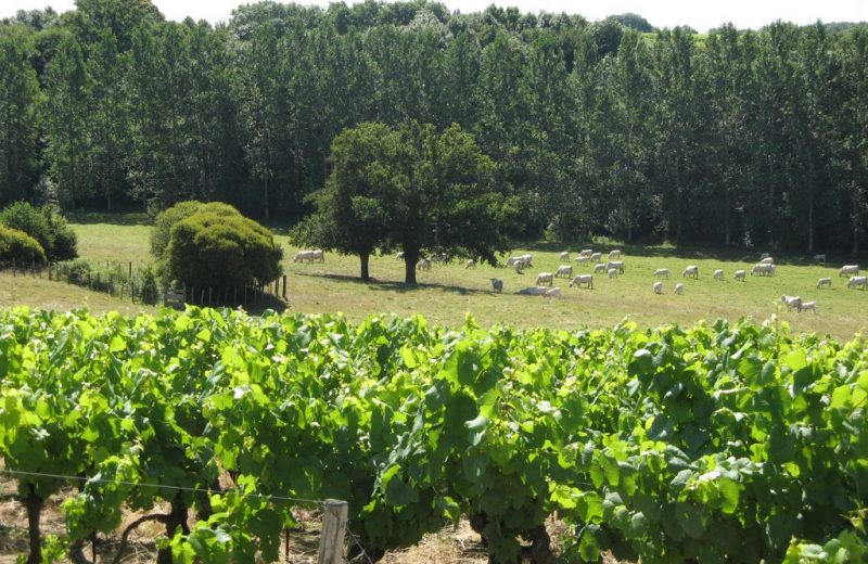
Bridge Gallo-Roman (first century, Middle Ages) overlaps Sanguèze. It is sometimes called the Bridge Julius Caesar but it is likely that Julius Caesar has nothing to do with it. This bridge has four arches, and each cell is flanked by a spur. On 30 May 1230, the royal procession of Saint-Louis and his mother Blanche of Castile, cross the bridge to head Vallet. Follow the guide: From the parking lot, take the rue du Pont to the Gallo Roman Church, and turn right before it in the street of the Board. Logne cross the bridge and move right onto the Corbin Street. The track and turn right at the stop sign on the road. Continue and turn right into the path of vines. At the end turn right onto the small road between vineyards, then left and continue. Through the Spring and Braudière, turn right and continue on the road. Then turn right into a farm track. In the end, the Parentière, turn left on the road and find a way to further vines right. Down, turn left and then right back to the mill. Out to Débaudière on the road. Continue then find a way of vines left after the houses. Follow, turn right into the vines and move to the left Beugnon. Arriving in the village, turn right and follow the road. Turn right onto the D37, follow and turn right towards the Piltier. Follow the road and down, turn right and go down the path along the meadow. Cross the two bridges Sanguèze continue right into the woods and cross the stream again (tributary Sanguèze) on a bridge. Then back to the left to find the vines and go right to the hamlet Champoinet. Turn right in the village, then left, then right again on the road. The track and turn left into the path of vines. The track, cross the road and continue in the vineyard until a road. Follow right then immediately turn left into the hamlet The Greusardière. Then take a path to follow, go almost straight at the barn and continue straight through the vineyards. Go left onto the Barillère, turn right in the village, follow the road and turn right at the cross. Turn left, follow the path and onto the road. Turn left and drive right into the path of vines. At the end, turn right, down, cross a small road past the Gallo-Roman bridge. Continue and return to the starting point.
Types
Itinerary
- Tagging: jaune
- Departure town : MOUZILLON
- Arrival town: MOUZILLON
- Difficulties: Walking - 3 heure(s)
- Dstance: 12 km
- Type of road surfacing : Promenade et Randonnée (PR) footpath
Points of interest
Report information about this route
